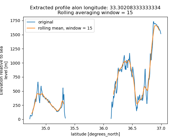
Hi.
I do that in Python, using xarray. I am using rolling average filtering, along either dimension.
By modulating the window width, I can get the results I want and most like.
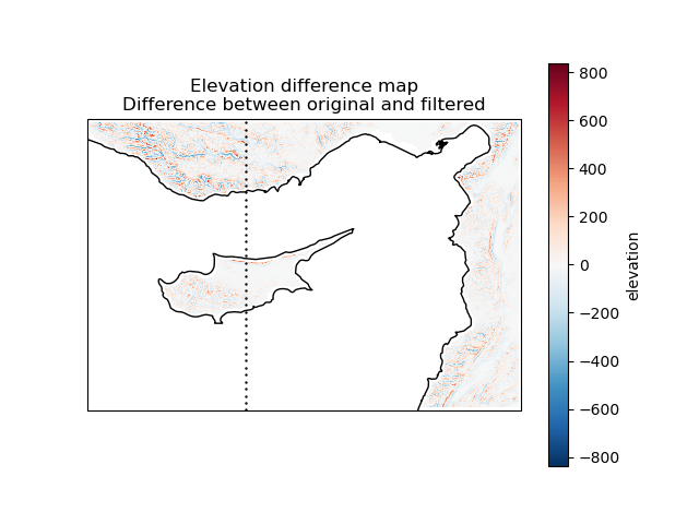
Hi.
I do that in Python, using xarray. I am using rolling average filtering, along either dimension.
By modulating the window width, I can get the results I want and most like.