Thanks Mathieu,
I am Resampling to Image and Paraview crashes. I have left the default setting with 100 for the resolution.
I also tried SPH volume interpolation and paraview crashes.
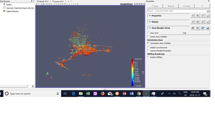
My data set is about 280K points and consits of UTM coordinates and MASL for elevation, plus a property of soil texture. I want to create a 3d interpolation of soil texture and be able to visualize. I can create smaller interpolations to view certain areas and increase resolution accordingly. Below is a screen shot and example of data set (first few lines).
| BH_ID | UTMZONE | EAST | NORTH | TOPMASL | Soil |
|---|---|---|---|---|---|
| 606361 | 17 | 653165 | 4789073 | 2.1608 | 0.0001 |
| 646555 | 17 | 620045 | 4837953 | 7.7312 | 0.0001 |
| 646555 | 17 | 620045 | 4837953 | 8.036 | 19 |
| 606361 | 17 | 653165 | 4789073 | 11 | 0.0001 |
| 636298 | 17 | 629785 | 4836153 | 18.4264 | 0.002 |
| 636298 | 17 | 629785 | 4836153 | 19.036 | 1.213 |
| 636298 | 17 | 629785 | 4836153 | 19.036 | 0.002 |
