Hi,
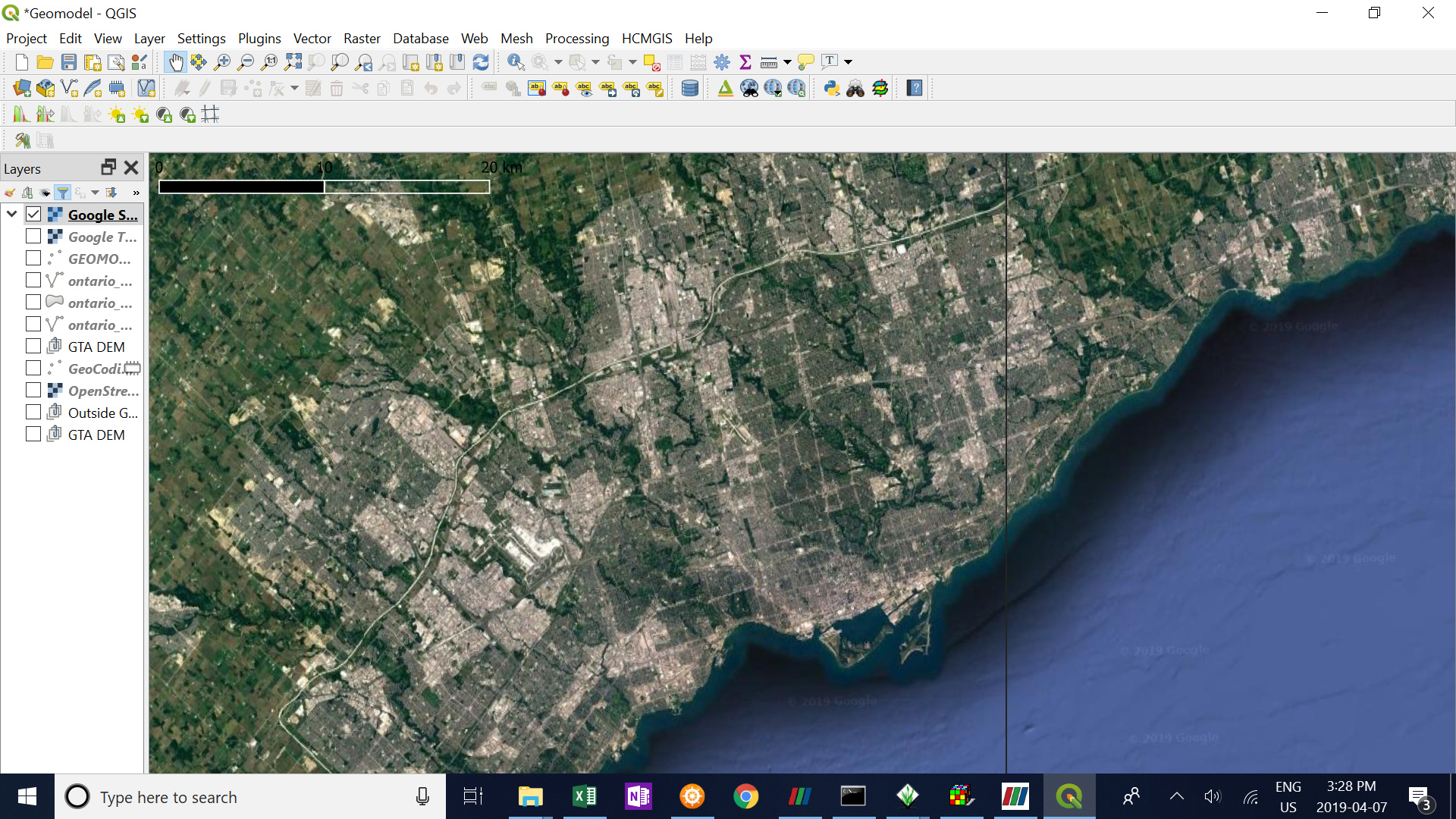
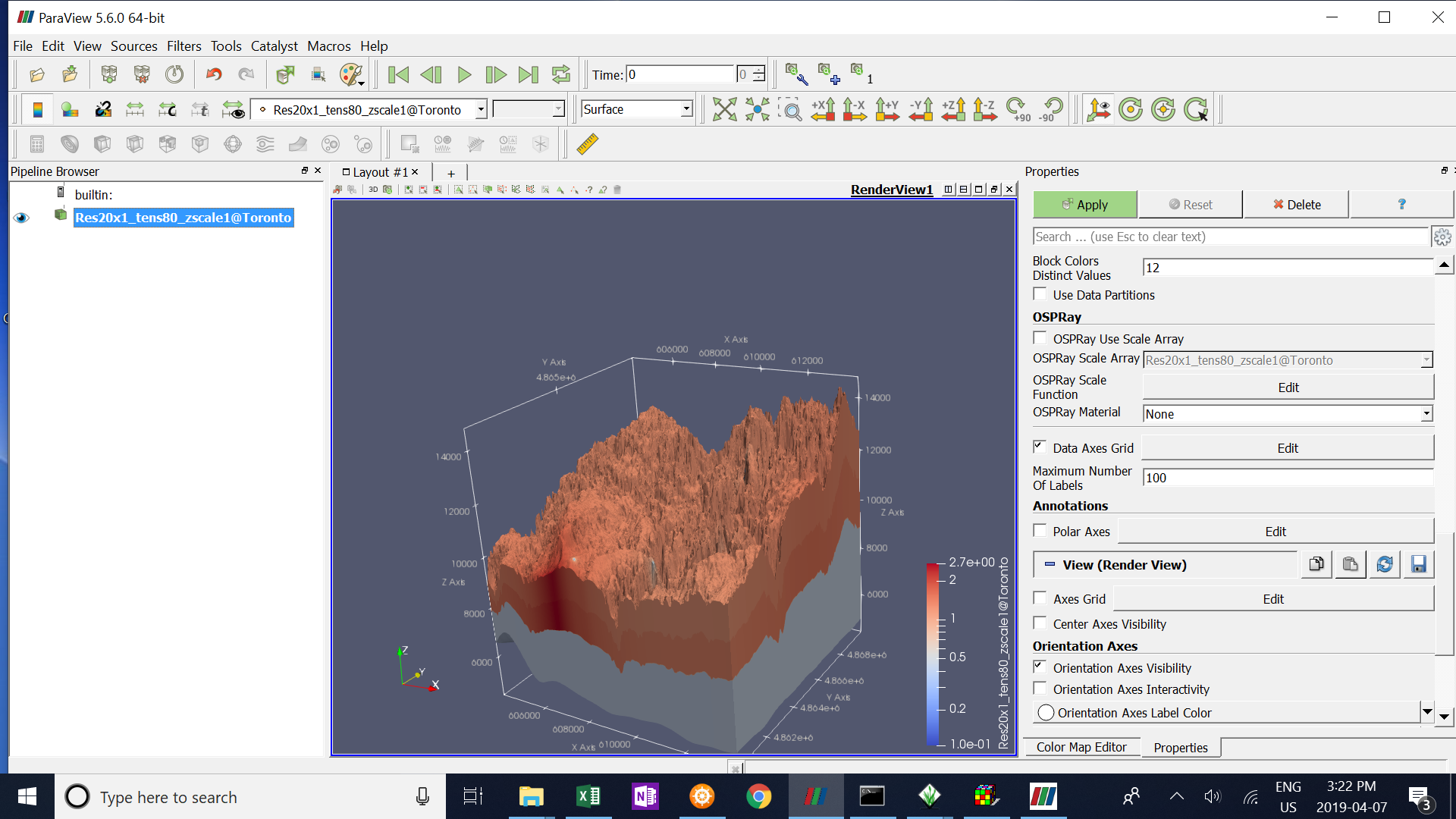
How can a basemap, or an aerial photo be added to a 3D Voxel?
thanks,
F
Hi,
How can a basemap, or an aerial photo be added to a 3D Voxel?
thanks,
F
Sounds like a texture to me. Is this what you are looking for ?
i am not sure if a basemap or aerial photo is described as texture. i just want to be able to locate where i am in my model by importing maps.
Please provide some dataset or a screenshot of what you are trying to achieve.
Please take a look here : https://www.paraview.org/Wiki/ParaView:Texture
Hello Mathieu,
I’m using ParaView 5.8.0. I don’t see “Load Texture” option in the “File” dropdown list.
How can I load texture into ParaView 5.8.0?
Thanks.
Andrew
please open your own thread.