Q: Are there precedents for urban-scale outdoor windflow models, with topography?
Hi everyone- I am coming from the AEC/3d modeling/Rhino-Grasshopper world. Following a great series of tutorials, I am at a point where I can get a OpenFOAM Case File and ‘slice’ it and visualize it to show results. I have been inputting buildings of an urban block, usually simplified to a single plane, and then seeing the results @ a person’s height for ‘human comfort’ simulations.
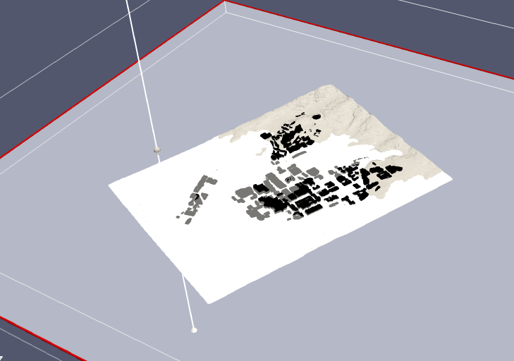
I have now been requested to do this but with topography. I have managed to get a mesh with some results, but I am not sure how to visualize these results for people who don’t recognize the terminology “CFD.” (which still includes me, really)
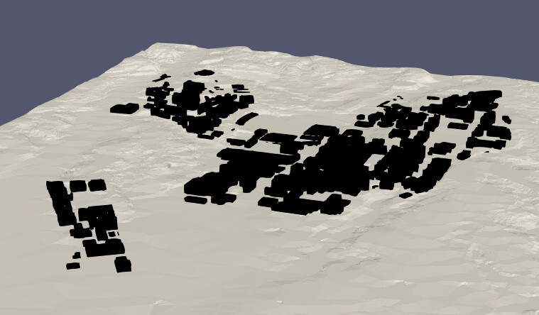
The input STL looks like below - a pretty large area with foothills
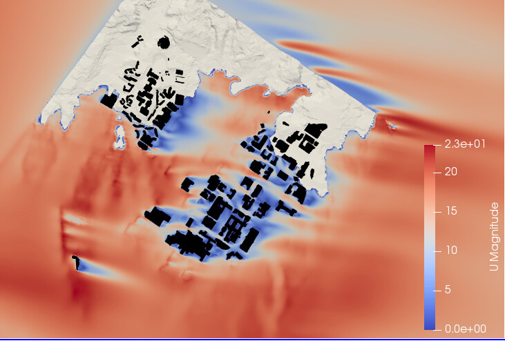
If I slice through the results at a Z normal, the results look as such (U magnitude Time 6)
I think ideally we would still talk about pedestrian comfort (roughyl 1.5 m from base plane)… is there a way to offset the topography STL and use that to create a sliced result?
Or is there a better way to visualize this that I haven’t considered? Thank you!

