Dear Members,
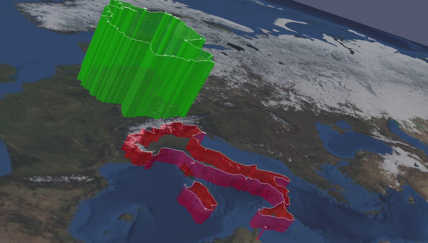
i have a shapefile, a world map, containing a bit more than 200 countries and their political boundaries.
From that, I would like to “extrude” user-defined, individual countries, by assigning a scalar that would control both: extrusion height and color.
My idea was using python to loop over each country, extracting the coordinates, and create a vtk file, by assigning z coordinate(s). However, I suspect there could be an easier method.
Any feedback, remarks, suggestions or hints?
Thank you
Marco