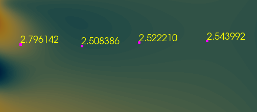
Hi there, I have converted my simulation data into image data using resampling to images and used other methods to convert the grid data into cell centres.
Now if i interactively selected the data points as shown, how to save the selected data into csv or txt with the structured coordinates.
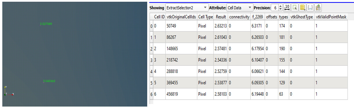
you can use the Find Data panel to extract the selection, it creates a dedicated filter. Then you can save your selection by selecting the filter and using the “save data” menu.