Hi there,
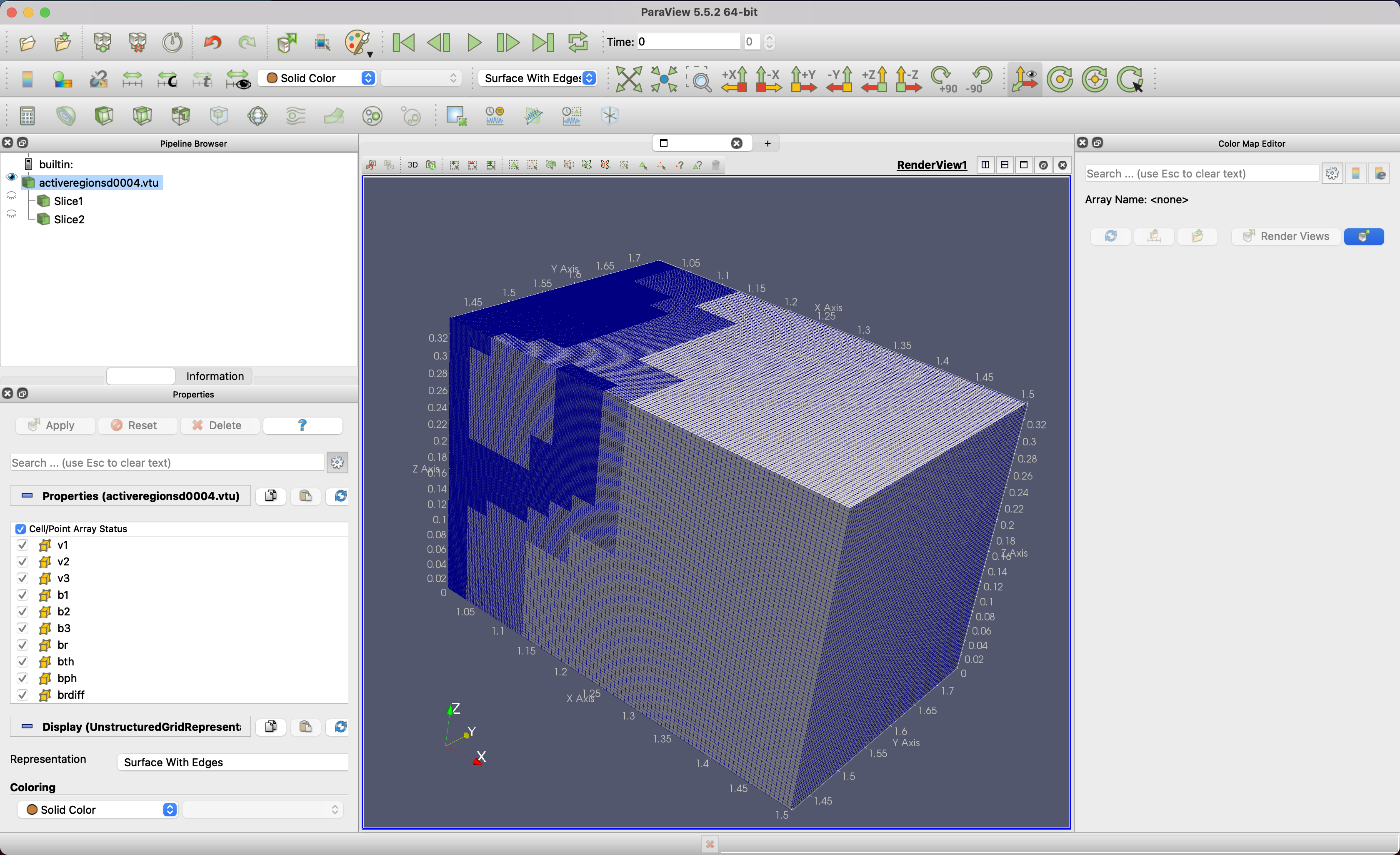
I am trying to visualise my r, theta, phi simulations within ParaView. Previously, we have done this by using the netCDF files that adhere to the CF convention and as such ParaView responds to the height, longitude, and latitude names and the corresponding length, degrees_east, and degrees_north units. Because of the file size limitations in addition to an AMR mesh, we have moved to the XML .vtu format. Here, I am struggling to find much information on how to, essentially, achieve the same results as with the netCDF file. I have been able to output a file that has the height, latitude, and longitude names but I am unsure how to specify a unit for these variables. Currently, I am faced with a cube of the correct dimensions but represented in a cartesian box where X is the radius, Y is theta, and Z is phi.
Alternatively, is there a way to ‘force’ ParaView to accept these three position arrays as in a spherical coordinate system? Or simply perform a spherical transform?
Any assistance you can offer would be greatly appreciated.
Thanks,
Jack
p.s., I am using Paraview 5.5.2 because I am using a silicon mac. I do also have access to the latest version on another machine if that is required.