Hi,
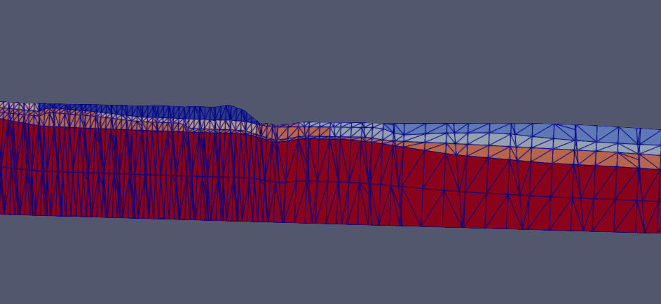
I am new to ParaView and I am trying to show a geological model that has certain units in zone groups. The zones cross several layers.
This figure is a render of “zones” but I want to show where the actual layers and the only way I can sort of see it is if I use “surface with wireframe” but there are diagonal wiggly lines all over the layers. Any advice on how to fix this and just show zones and layers?
cheers
Emma