I have recently started using Paraview for visualizing outputs from my sub-surface model which provides output in .vtu format. I was wondering if there are any tutorial or guide available for the beginners to learn how to operate .vtu files in Paraview. Like we have different stratification layers in our model how to individually visualize each of them etc…
Thanks a lot Mathieu for your response. I completely agree with you. I can share my dataset with you. Is there a way I can share the dataset securely to you.
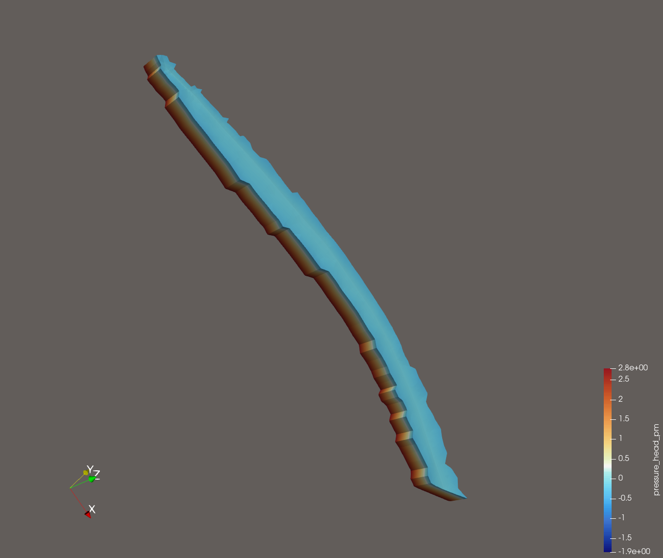
Thanks for your support. So, the first image (depth to groundwater) shows the plan view of an example watershed model. This model has 15 vertical stratified layers (visible in surface with edges view).
So, what I am looking for is that if I can visualize these 15 layers individually. Let us say, if I want to see the components only 12 th layer and not any other layer. How can I do that?
The clip tool or slice tool may help in this case as the terrain is quite flat. But when the terrain is quite undulating how to go about visualizing a particular layer.