Hello support and community,
I have a data set of athmospheric winds and want to trace a measured event. The data is on a longitude, latitude grid. I used the equidistant cylindrical projection as I read here that the particle tracer doesn’t work on spherical data.
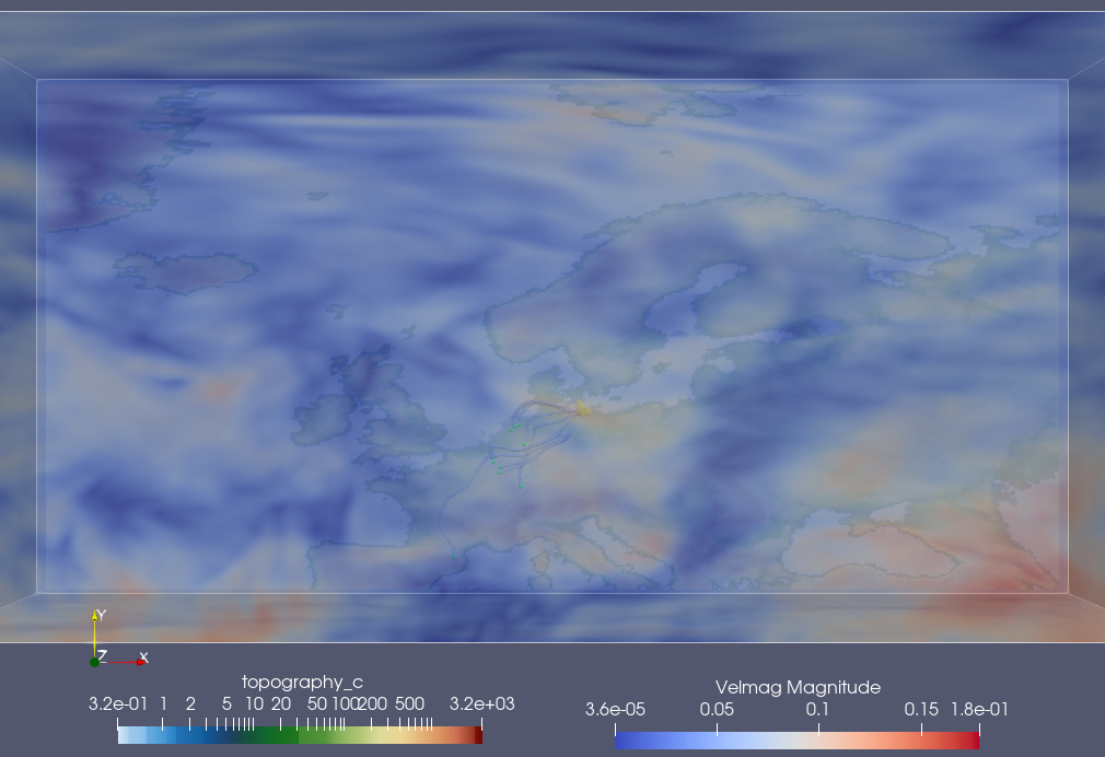
I injected points at a specific place (where it was measured) and the introduced the ‘particle tracer’ filter. But the points only show in the first step and apear at the nth step (of course because I set the reinjection at nths step).
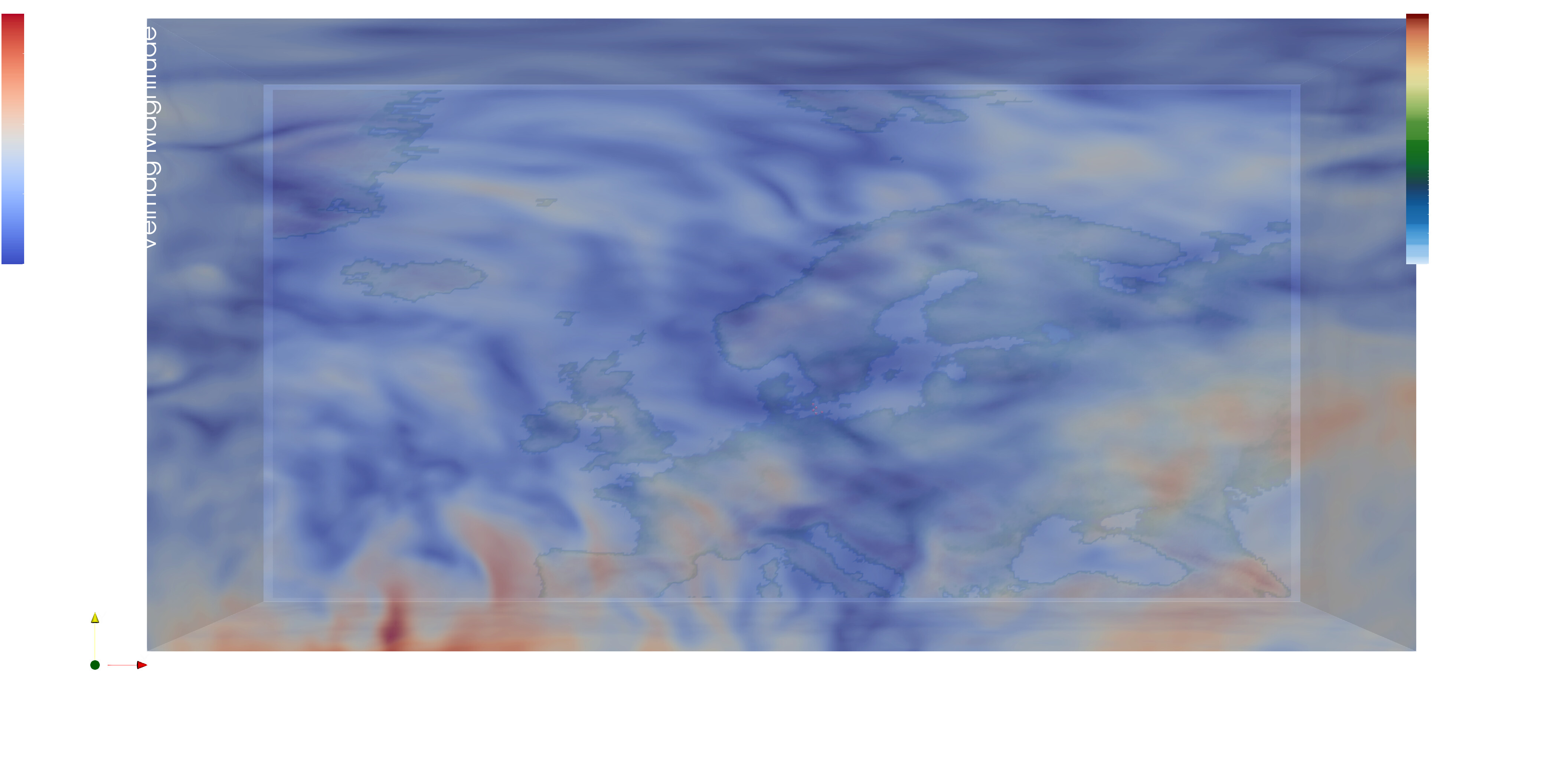
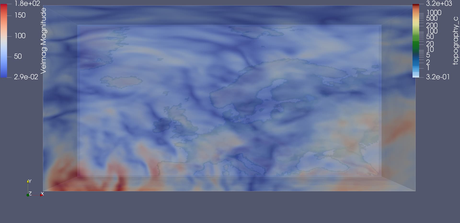
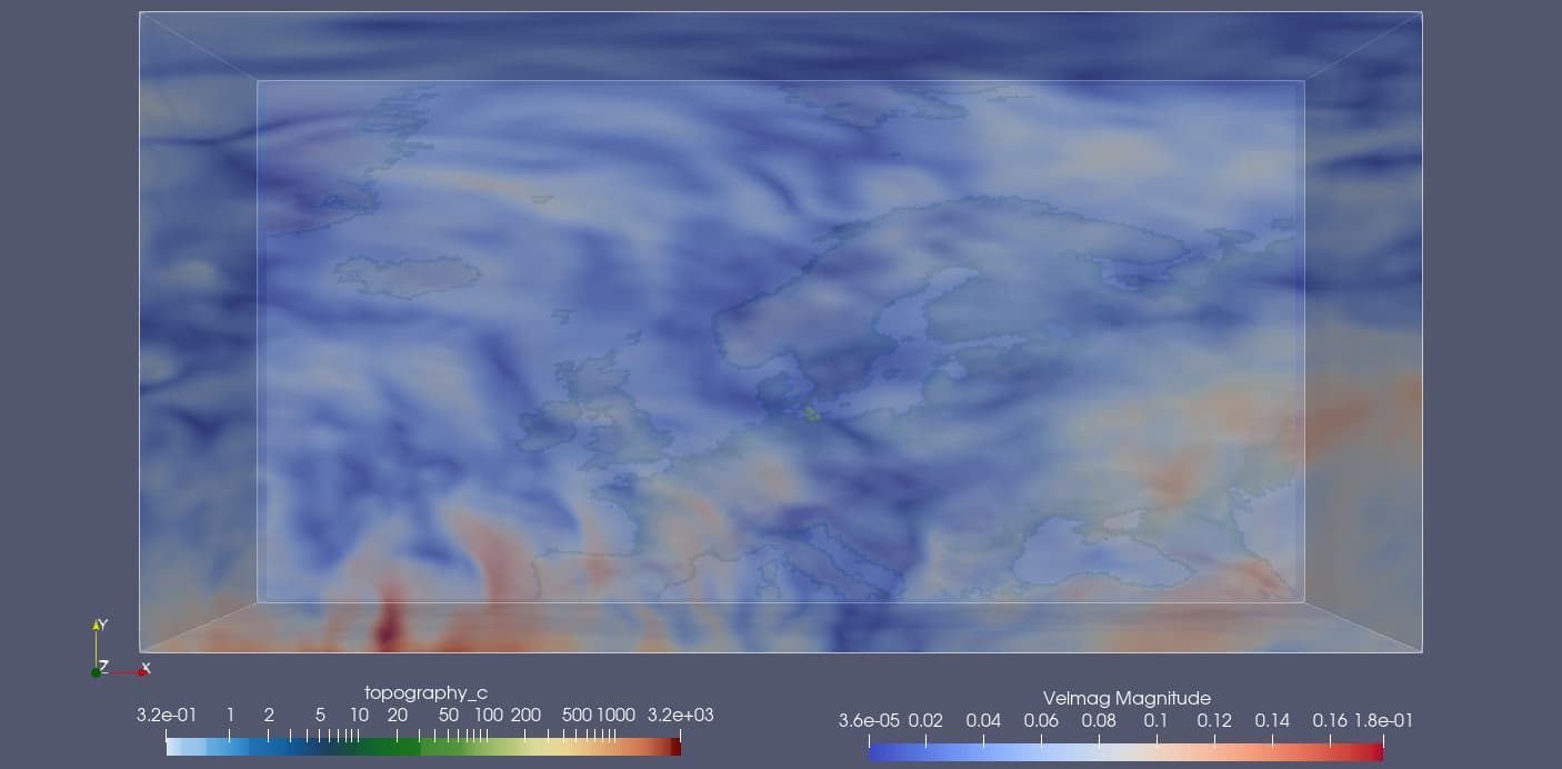
Step 0 (The injected points are grey and the tracer particle purple - above baltic sea)
As the points disapear also the additional introduced ‘temporal particles to pathlines’ filter doesn’t work.
I read several topics about the particle tracer but I am stucked. The ‘stream tracer with custom source’ filter works fine but this does not help to follow the measured event.
I would be very happy if you could help me.
(as information: I am usually only until early afternoon in the office, so please don’t be surprised if I don’t reply until the next day)
Thank you very much. The result looks great, I couldn’t check it out yet (visualization is not my only task ).
I will do so tomorrow and then - I am almost sure - I can mark it as solution.
you will have to have a closer look at the units of your velocity data and of the coordinates (lat/lon in this case) used to get correct particle advection / trajectories.
Typically, the velocity components are given im m/s, while the data space is in degrees. 1 degree is about 111 km in N-S direction. In case of a cylindric equidistant projection, the conversion of a degree in E-W direction has to take into account the latitude, i.e., at 90 N the distance is 0, while at the equator the distance is 111 km. So what you need to do is to is to convert the velocity components accordingly into degree/s . Alos, the time unit (time axis) of the netcdf data need to be set to seconds.
@mwestphal It works with the adjusted velocity. @Michael_Boettinger I need still to implement your remarks. I tested already a somewhat similar way, but I couldn’t apply the particle tracer there (it wasn’t available).
2 questions according your remarks: As I have three dimensional data, is there also a conversion needed for w (upward_air_velocity) and I guess correspondingly the velmag needs to include the w direction?
Ok, yes, W may also need to be rescaled.
However, this also depends on your vertical coordinates. If you have height levels in meters and the same time unit as discussed before, it should work without scaling, but quite often the vertical scale is exaggerated for the visualization.