thank you again, I appreciate your answer, but I’m sorry I’m too poor in math !
a google search lead to this: https://stackoverflow.com/questions/29719796/how-to-converting-by-using-table-to-structed-grid-on-paraview but did not clarify to subject to me. for instance, I can’t input a letter “R” as a “whole extents” property, but just a number.
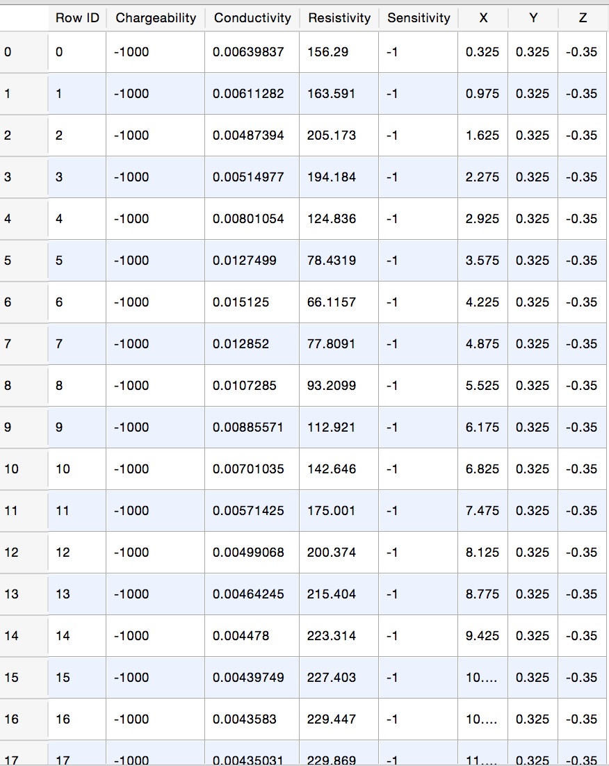
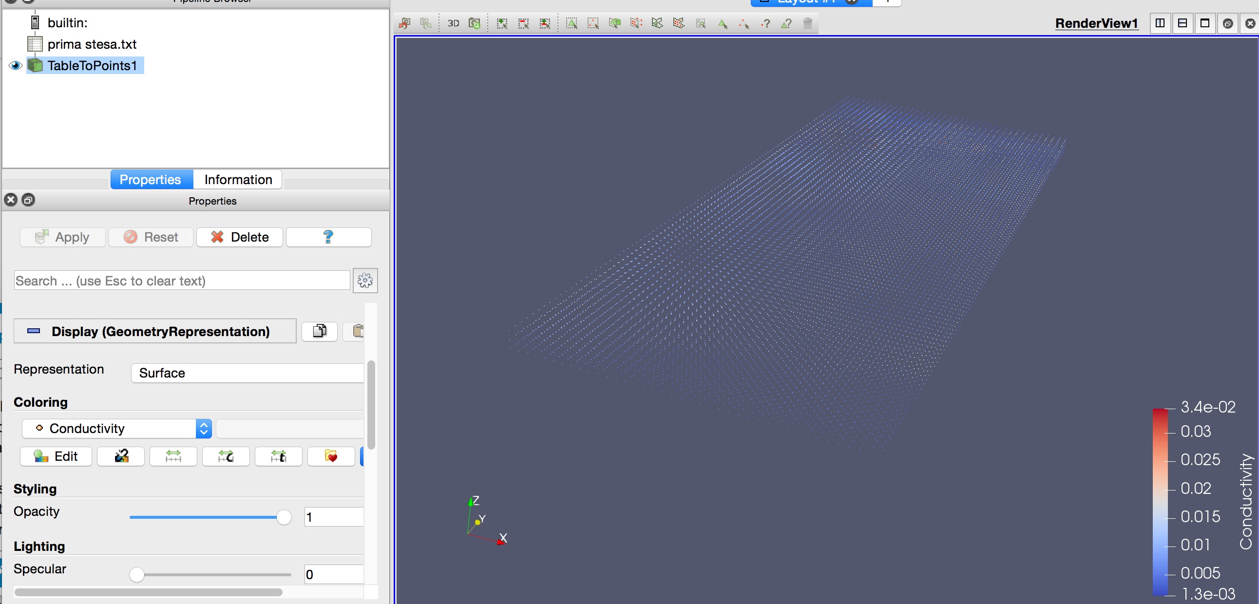
Please find enclosed a screenshot of my grid, and It would be great if you may suggest the correct edit.
thank you in advance!
ps. I did try many combination, as also suggested here:
https://paraview.paraview.narkive.com/PVNkFNDs/data-structure-for-table-to-structured-grid-filter but did not work. My grid has 12200 points, as you may see grafically and and as a table in enclosed pictures.