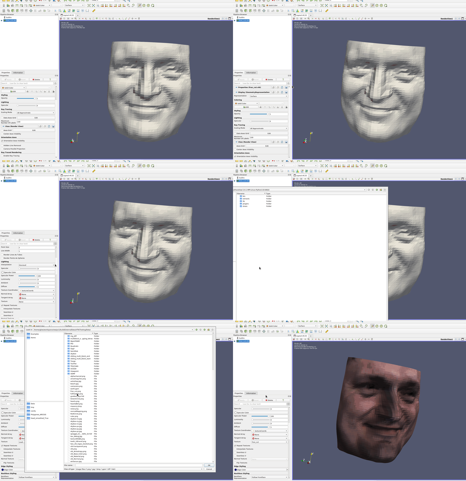
Is there any way to drape/project a image (aerial photography in my case) onto the top surface of structured or unstructured grid defined by a VTK file? I have tried playing around with the “texture map to plane” filter but I’m not sure it will do what I’m looking for. The top surface of my grid has variable Z values since it represents the topography of the land surface. I’m not bothered by any stretching in the texture that would occur, I just need to have the XY referenced correctly and for the image to be visible on the top surface of my model. I can create a different file type to define the top surface if that is necessary. Thanks!
I found this thread (link) and tried to use the uploaded .pvsm file, along with the bath.vtk and jpg. I got the same error as the original poster (https://discourse.paraview.org/t/how-to-overlay-google-map-image-onto-elevation-data-from-a-vtk-file/3288/11?u=datathing) but I couldn’t figure out how to follow the final piece of advice:
I cannot see a way to apply the texture on the WarpByScalar output, but I’m sure this is just a lack of familiarity with the UI. I tried searching the User Guide and searching for related topics but couldn’t quite get it.

1 Like