I have a 2D vtk data set composed of x and y coordinates with a respective elevation for each point. I would like to make my data look a bit more “realistic” in the 3D view. In the attached photo, I have used the warp by scalar filter to highlight the water elevation (in blue) and topography (white). Although this helps, it’s not quite what I want. I want to somehow combine the warp by scalar, extrude and threshold filters to “fill” in the area between the water elevation and topography (I know the distance the between the two).
I tried messing around with the mentioned filters for awhile, but couldn’t get it to work nicely. Does anyone have suggestions or experience with something like this? Thank you in advance!
Thank you for the reply! So the Extrusion Representation got me closer to what I wanted, but it didn’t work right off the bat. I did the following:
Use “Extract Surface” on the elevation data
Then I applied the linear extrusion filter
Changed the surface representation to “Extrusion Surface”
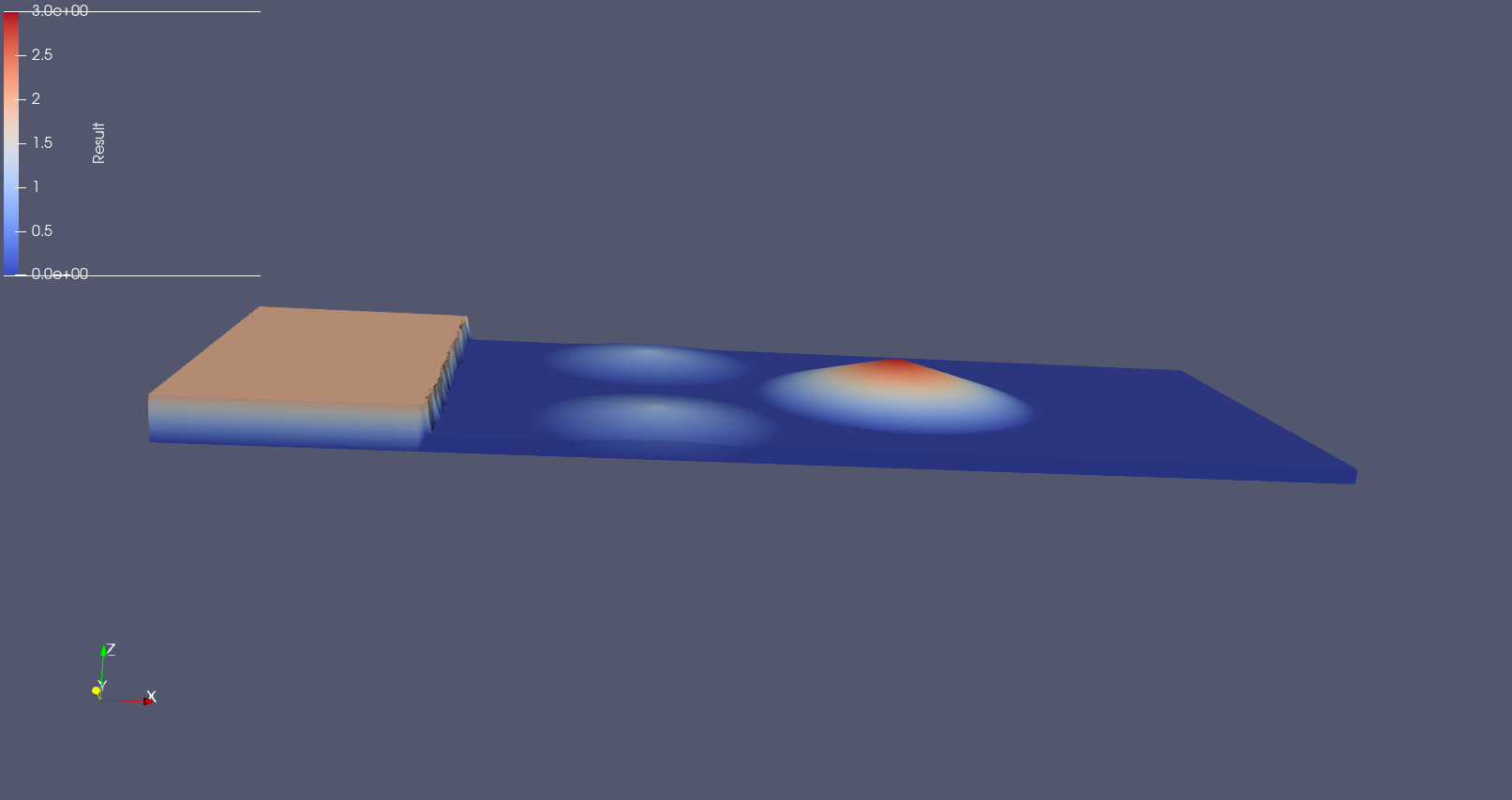
which produced the attached image. However, there is a weird reflection in the z-axis that is happening. As you can see from the color bar, the data is positive so I’m not sure what is producing the reflection. Also, I apologize in advance if I’m doing nonsensical things
Yes, I have attached the initial data for this problem (rest of the data was quite large). The data consists of 3 vtk files for the bathymetry, water height, and elevation (this is bathymetry + water height). In the screenshots that I have posted, I am plotting the elevation and bathymetry. Please let me know if you have any questions and thank you again for your help.
Thanks, it is much more clear now. The symmetry is normal but actually you do not need the Extrusion Surface representation.
Here is a state file that should fix your issue : floorExtru.pvsm (760.4 KB)


 I greatly appreciate it.